Post: 11 September 2013
Update 23 October 2013: This request has now gone through North Yorkshire’s internal review process. Please see the end of the post.
I’ve blogged previously about the difficulties of getting Public Rights of Way mapping data released as open data. The main problem is that the data is primarily owned and maintained by councils, which means anyone trying to build a national picture of PRoW has to obtain it piecemeal from numerous different sources.
There is a quite high level of popular demand for PRoW data and, following recognition of that in the 2011 Autumn Statement, Ordnance Survey has done some work to reduce the “derived data” barriers to open data release. However overall progress has been slow.
A small number of councils have made their PRoW data available for download on their websites and/or via Data.gov.uk. Barry Cornelius has also done a cracking job building his Rowmaps repository, which now makes available PRoW open data from 66 councils. But there are still many holdouts.
I’ve recently had a go at requesting PRoW datasets from a couple of councils that I knew had in the past resisted calls to release that information. This week I received a refusal notice from North Yorkshire County Council (you can read the full correspondence so far).
The interesting aspect of this refusal is that North Yorkshire is relying on section 21 of the Freedom of Information Act, which applies when information is already “reasonably accessible” to the applicant.
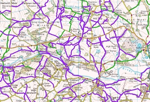
North Yorkshire has a web-based mapping application that includes a PRoW layer:
http://maps.northyorks.gov.uk/connect/?mapcfg=Out_and_About
and they are relying on that to argue that (a) the information is therefore already accessible, and (b) my request is for that same information but in a “special software format”.
My argument is that I have requested the underlying spatial dataset, which is different in substance (not just in format) because it contains polygon/polyline, coordinates and other technical information that is not accessible via the Council’s mapping application.
There is some support for the Council’s position in Decision 084/2012 released by the Scottish Information Commission in May 2012. The decision dealt with a request under EIR for a GIS download of core path data held by City of Edinburgh Council. However I think there are a couple of defects in that decision process. The applicant weakened his case by presenting his original request for the download as a “preferred format”, and the Scottish Information Commissioner seems not to have considered whether a GIS download would have contained the same technical information as the version presented on the web or in a PDF.
Given that the Government has recently added new dataset provisions that make FOI a channel for re-use requests as well as access to data, the scope for application of Section 21 in the context of spatial datasets has quite significant implications for attempts to obtain that type of data. Local authorities in particular make extensive use of view-only web-mapping applications; they should not be able to use that as a pretext to block release of the underlying datasets.
I’ve asked North Yorkshire for an internal review of their response to my request.
Update (23 October 2013)
This request has now gone through North Yorkshire’s internal review process; you can read the additional correspondence.
The Council continues to maintain that the PRoW information I have requested is “reasonably accessible” to me and that I am merely asking for it in a different format. However they are now handling the request under the Environmental Information Regulations (EIR) instead of under FOI.
At the same time the Council is maintaining that the information is exempt from disclosure under regulation 12 (4)(d) of EIRs, as it is “still in the course of completion”. On the face of it the Council’s reliance on both exemptions seems inconsistent.