A few years ago when I was an external member of the Environment Agency Data Advisory Group (EADAG) one of the datasets I was keen to see released was EA's spatial data for Historic Landfill sites.
In general there isn't enough data openly available in the waste sector, and this is a key data asset of particular interest for planning, conveyancing, and environmental reporting.
EA describes Historic Landfill as follows:
A historic (closed) landfill site is one where there is no PPC permit or waste management licence currently in force. This includes sites that existed before the waste licensing regime, if a site has been licensed in the past, and this licence has been revoked, ceased to exist or surrendered and a certificate of completion has been issued.
The Historic Landfill dataset was created to help fulfil our statutory responsibility to Local Planning Authorities by supplying information on the risks posed by landfill sites for development within 250m. The data is the most comprehensive and consistent national historic landfill dataset and defines the location of, and provides specific attributes for, known historic (closed) landfill sites, i.e. sites where there is no PPC permit or waste management licence currently in force. This includes sites that existed before the waste licensing regime and sites that have been licensed in the past but where this licence has been revoked, ceased to exist or surrendered and a certificate of completion has been issued.
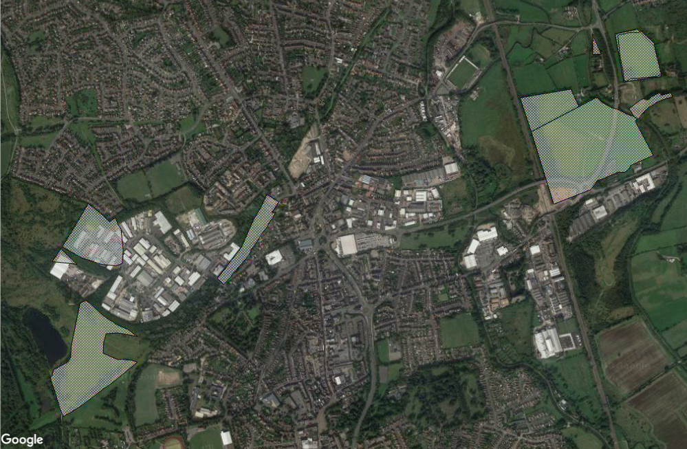
Historic Landfill includes all relevant historic information for the sites that both local authorities and the Environment Agency have collected over the years. The data is available as a GIS data layer, with the boundaries digitised from a base scale of 1:10,000 and an associated attribute table comprising 34 fields. The polygons and attributes describe where the sites were located, when they were used, who used them and what was deposited. This means there are name and address fields, licensee and operator information, licence issue and surrender dates, first and last input dates, and waste types.
However at that time EA was licensing Historic Landfill to value-added resellers on commercial terms. It wasn't until April 2018, when EA wound down the last of its commercial data licensing operation, that the dataset was released to the public free of charge.
Unfortunately that release isn't open data. Environment Agency has applied its Conditional Licence; one of the conditions is "a limited duration of one year at the end of which it will terminate automatically without notice". This reduces the potential to re-use the data for many purposes.
EA's rationale is that it cannot make the Historic Landfill dataset fully open because it contains personal data:
The Information contains some data that we believe is within the definition of 'personal data' under the Data Protection Act 1998 but we consider that we will not be in breach of the Act if we disclose it to you with conditions set out in this condition and the condition above. This personal data comprises information relating to individuals, or to sites operated by an individual or partnership of individuals.
An open version of Historic Landfill
However I have good news.
Following a request under the Re-use of Public Sector Information Regulations, Environment Agency has agreed that a subset of the Historic Landfill dataset is eligible for release under the Open Government Licence.
I have packaged that subset as a new open data product and made it available for download from my Datadaptive site: Historic Landfill in England (Redacted).
The User Guide includes a copy of my correspondence with Environment Agency (with personal data of my EA contact removed).
Many thanks to the EA data team for responding so helpfully to my RPSI request.
Historic Landfill in England (Redacted) contains all of the records from the full Historic Landfill dataset, including the polygon objects.
Some of the attribute fields have been removed, including the site name and address, the dates of licence, and information about the licence holders and site operators. However information about types of waste and the dates of input has been kept in the open dataset, and each record has a unique key that can be used for matching back to the full non-open dataset.
There will be some use cases that require the full dataset, of course. But in my view this open version has significant potential for re-use in mapping and geospatial analysis, including for purposes that require open-ended redistribution and cannot be supported by the licence for the full dataset.
Attribution statement for data in image: "© Environment Agency copyright and/or database right 2015. All rights reserved. Contains information © Local Authorities".