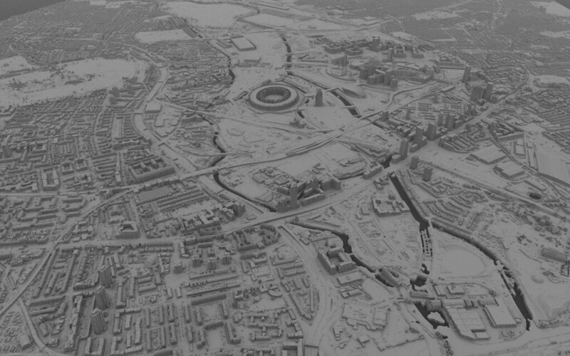
This blog post is a list of known sources for LiDAR data covering (parts of) the United Kingdom, where the data is available on open terms.
I was prompted to compile this list by a recent discussion of LiDAR data on Talk-GB, a mailing list for users of OpenStreetMap in Great Britain. There is also an OSM wiki page describing LiDAR sources for the United Kingdom.
All of the sources listed below provide LiDAR data for re-use in open file formats under the terms of the Open Government Licence.
What is LiDAR?
LiDAR stands for Light Detection and Ranging. In a nutshell, LiDAR is a technology for measuring distance by sending a pulse of light from an aircraft to the ground and recording the time it takes to return that light to a sensor.
LiDAR data contains detailed measurements of the height of the earth's surface or terrain. The data is processed and packaged for a range of different uses.
(There are also ground-based LiDAR systems, but that data is outside the scope of this post.)
For more detail explanations of LiDAR, please see Esri's What is lidar data? page, GISGeography's Complete Guide to LiDAR, or the Wikipedia page about LiDAR.
England
LiDAR data for England is produced by the Environment Agency's Geomatics team and has been available as open data since 2015. The EA data is available from the Surveys area of the Defra Data Services Platform, which provides tools for downloading data for selected areas of geography.
The Environment Agency National LIDAR Programme aims to provide accurate elevation data at 1m spatial resolution for all of England. There is a dashboard for following progress of the capture programme.
Metadata for EA's LiDAR data products is available from the Defra Data Services Platform catalogue and from Data.gov.uk.
EA's technical note from 2016 is still mostly comprehensive as an explanation of the various data products.
Wales
LiDAR data for Wales is provided by Natural Resources Wales via the Welsh Goverment's Lle Geo-Portal.
Metadata for the LiDAR data products is available from the NRW's Library Catalogue and from Data.gov.uk.
Scotland
LiDAR data for Scotland is mainly provided by the Scottish Government via the Scottish Remote Sensing Portal. The Portal has been developed as a partnership between the Scottish Government and the Joint Nature Conservation Committee (JNCC).
Metadata for the Scottish Government's LiDAR data products is available from the SpatialData.gov.scot Metadata Portal and from Data.gov.uk.
Most of the Scottish Government's LiDAR data is available under the Open Government Licence, but a small number of datasets are subject to non-open terms.
LiDAR data from the Environment Agency, which covers England, also includes limited coverage for Scotland.
Northern Ireland
LiDAR data for Northern Ireland is available from OpenDataNI, the Open Data Portal for Northern Ireland. The data is mainly published by Land & Property Services (LPS), part of the Department of Finance, with coverage focusing on river basins.
Metadata for the LiDAR data products is also available from Data.gov.uk.
Derived data products
Various other organisations have published open data products with local coverage, either derived from national sources or using data from specialised LiDAR surveys.
For example: tree canopy data, woody habitat corridor data, and a Digital Surface Model, all for South West England, from researchers at the UK Centre for Ecology & Hydrology, and woodland structural data for the Isle of Wight, from researchers at the University of Leeds.

Image credit: LiDAR QEOP by Valerio (CC BY 2.0)